- Set your location(edit)
- Gift cards
- Warranty
- Returns
- Find us
- Contact us
G'day there!
create an account
Details & Specs
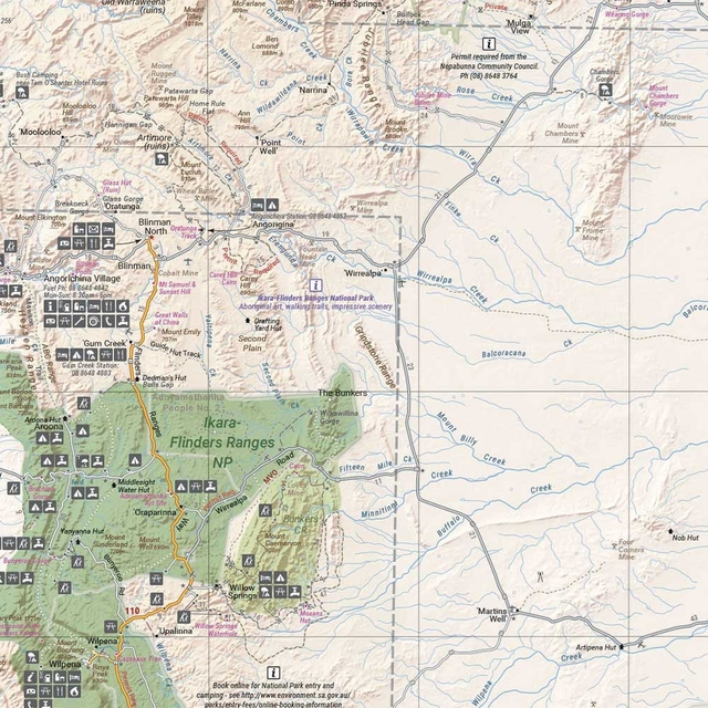
From street art in the east to gold nuggets in the north, the Outback Queensland Map 4th Edition by Hema spans across the state’s most iconic regions from border to border.
Discover the braided plains of Channel Country, the sunburnt Matilda Country and pioneered pathways of Overlands Way thanks to the map’s extensive visitor information. Learn the local way with the index of towns and locality, as well as vital contacts covering the majority of the regions’ must-knows, facts and figures like a four-wheeled drive across the dunes.
From scenic coastlines to the pink skies of the quaint countryside, know where to pull up, fill up, and set up thanks to points of interest, camping areas, caravan parks, fuel locations, and key touring routes marked on the map. With so much to learn about our outback-yard, enjoy the included maps of Bladensburg, Idalia, Currawinya, Diamantina and Carnarvon Gorge national parks.
Get to know the curves and contours of your road trip thanks to the hill shading, and surf the slopes, ridges and ranges with the elevation tinting for a more realistic interpretation of the landscape you’re learning to love.
Your comprehensive companion in your centre console, the Hema Outback Queensland Map 4th Edition is the ultimate outback tracker from the rural rubbles to the rustic seasides.
- National Park maps
- Indicates key touring routes
- Indicates camping areas
- Indicates caravan parks
- Indicates points of interest
- Indicates fuel stops
- Waterproof paper
Reviews
(0)
Q&A's
You might also like... (3)
Similar gear (2)
-
Call us: 1300 914 007
Mon - Fri: 8.30am - 5:00pm
Sat: 9am - 4pm
Sun: ClosedOur support team is based in Adelaide(SA time) - Email usservice@snowys.com.au
-
Find us
Find us
92 Richmond Rd, Keswick SA Mon - Fri: 9am - 5:30pm
Sat: 9am - 5pm
Sun: 10am - 5pm17 Doherty St, Brendale QLD Mon - Fri: 9am - 5pm
Sat: 9am - 5pm
Sun: 9:30am - 2:30pm


- Epic Easter Deals!
-
By Brand
-
Business Sales
- Gift Cards
- Spare Parts
- Blog
Whether you're buying bulk for yourself, or through work, submit a quote request below and we'll work with our suppliers to offer our best price.
- Schools
- Clubs
- Scout groups
- Government departments
- Businesses
- or, just ordering a bulk amount with mates

-
92 Richmond Rd, Keswick SA17 Doherty St, Brendale QLD


