- North Narrabeen, NSW 2101(edit)
- Gift cards
- Warranty
- Returns
- Find us
- Contact us
G'day there!
create an account
Details & Specs
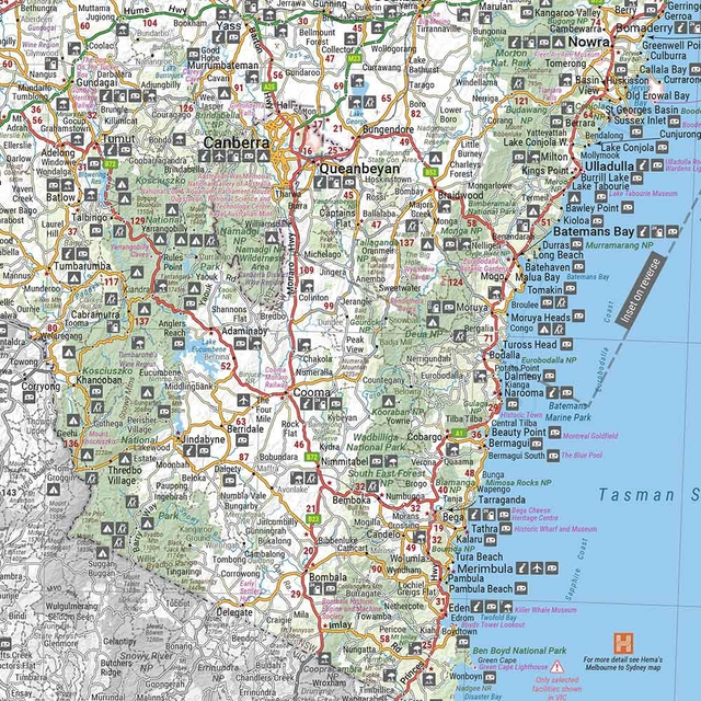
From the ranges in the east to the desert in the west, the Outback New South Wales Map 5th Edition by Hema scribbles across the state’s provinces from border to border.
Stretching across the surrounding areas of Cobar, Back o’Bourke, Lightning Ridge, and Dubbo, the map marks the curves and contours of outback New South Wales. Discover regions such as Broken Hill, White Cliffs, and Wentworth, as well as Griffith, Corner Country, and Balranald.
With so much to learn about our outback-yard, enjoy tourist information and the detailed maps of National Parks such as Kingchega, Mungo, Sturt and Mutawintji. On your ventures from rubble to road, know where to pull up and set up thanks to detailing of points of interest and camping areas.
Your outback tracker in the centre console, the Hema Outback New South Wales Map 5th Edition stretches from the farming regions in the south to beyond the Queensland border in the north.
- Detailed National Park maps
- Tourist information
- Indicates camping areas
- Indicates points of interest
- Folded size: 140mm width x 250mm height x 3mm depth
- Flat size: 700mm width x 1000mm height
- Waterproof paper
Reviews
(0)
Q&A's
You might also like... (3)
Similar gear (3)
-
Call us: 1300 914 007
Mon - Fri: 8.30am - 5:00pm
Sat: 9am - 4pm
Sun: ClosedOur support team is based in Adelaide(SA time) - Email usservice@snowys.com.au
-
Find us
Find us
92 Richmond Rd, Keswick SA Mon - Fri: 9am - 5:30pm
Sat: 9am - 5pm
Sun: 10am - 5pm17 Doherty St, Brendale QLD Mon - Fri: 9am - 5pm
Sat: 9am - 5pm
Sun: 9:30am - 2:30pm


- Epic Easter Deals!
-
By Brand
-
Business Sales
- Gift Cards
- Spare Parts
- Blog
Whether you're buying bulk for yourself, or through work, submit a quote request below and we'll work with our suppliers to offer our best price.
- Schools
- Clubs
- Scout groups
- Government departments
- Businesses
- or, just ordering a bulk amount with mates

-
92 Richmond Rd, Keswick SA17 Doherty St, Brendale QLD


