- North Narrabeen, NSW 2101(edit)
- Gift cards
- Warranty
- Returns
- Find us
- Contact us
G'day there!
create an account
Details & Specs
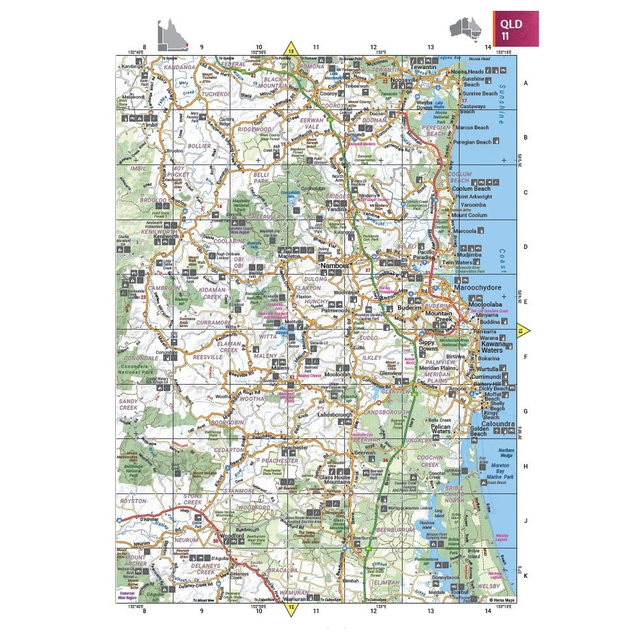
The Australia Road & 4WD Handy Atlas (13th Edition) by Hema is the smaller-sized tour guide for outdoor adventurers surfing the slopes, ridges, and ranges of rural Australia.
With so much to learn about our own outback-yard, this atlas features detailed mapping of the current 4WD destinations across Cape York, the Top End, the Pilbara, and the Flinders Ranges. Enhanced by an easy-to-read cartographic style and marked with a distance grid, this is the ultimate outback tracker from road to rubble – with detailed guides, listed accredited information centres, and a complete index to both aid in planning and navigation. Know where to pull up, fill up, and rest up too, owing to the marked fuel stops, facilities, campsites, and caravan parks.
Cover the curves and contours of outback Australia like a 4WD across the dunes, with the Hema Australia Road & 4WD Handy Atlas (13th Edition) – taking you from barren bitumen to red dirt roads.
- Detailed 4WD tracks
- Current mapping for 4WD destinations: Cape York, Fraser Island, the Top End, the Kimberley, the Pilbara, Central Australia, High Country Victoria and the Flinders Ranges.
- Fuel stops
- Points of interest
- National Park guides
- Campsites
- Caravan parks
- Rest areas
- Road distance grid
- Accredited information centres
- Fully indexed for easy planning and navigation
Reviews
(0)
Q&A's
You might also like... (3)
Blacksmith Camping Supplies Australian Made Clear Top Large Drawer Bag
Similar gear (2)
-
Call us: 1300 914 007
Mon - Fri: 8.30am - 5:00pm
Sat: 9am - 4pm
Sun: ClosedOur support team is based in Adelaide(SA time) - Email usservice@snowys.com.au
-
Find us
Find us
92 Richmond Rd, Keswick SA Mon - Fri: 9am - 5:30pm
Sat: 9am - 5pm
Sun: 10am - 5pm17 Doherty St, Brendale QLD Mon - Fri: 9am - 5pm
Sat: 9am - 5pm
Sun: 9:30am - 2:30pm


- Epic Easter Deals!
-
By Brand
-
Business Sales
- Gift Cards
- Spare Parts
- Blog
Whether you're buying bulk for yourself, or through work, submit a quote request below and we'll work with our suppliers to offer our best price.
- Schools
- Clubs
- Scout groups
- Government departments
- Businesses
- or, just ordering a bulk amount with mates

-
92 Richmond Rd, Keswick SA17 Doherty St, Brendale QLD


