- North Narrabeen, NSW 2101(edit)
- Gift cards
- Warranty
- Returns
- Find us
- Contact us
G'day there!
create an account
Details & Specs
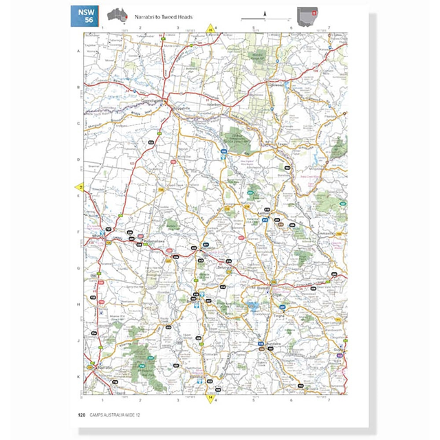
Uncover the best the west has to offer with the Western Australia Road and 4WD Track Atlas from Hema Maps.
Revised and updated, this atlas provides statewide mapping which includes detailed coverage of Southwest WA and Perth. This atlas lists the state’s top 50 4WD trips to do and provides information about track grading, contact information and distances to help you plan your expeditions. Learn all about the top 25 National Parks in WA including where you can camp, the things you can see and do, and the contact details for each spot.
Also included is a list of private camping areas, caravan parks, and all of the accredited visitor centres in Western Australia for your reference. Use the Western Australia Road and 4WD Track Atlas from Hema Maps to plan your adventure across Australia’s largest state.
- Statewide atlas mapping
- Top 50 4WD trips listed with track grading, distances, contact information and an atlas reference included
- Information on WA’s top 25 National Parks including camping areas, things to do, contact details, an inset map and info on what makes each park unique
- Lists private camping areas and caravan parks, and all the accredited visitor centres in WA
Reviews
(1)
5.0
1
Q&A's (2)
Most Recent
Most Answers
Least Answers
Most Helpful
Publication date?1 answer
I know it says fully revised and updated, but just wondering what edition this actually is and publication date. Thanks.
G'day Libby,
The most current addition is the 3rd edition, updated & published in 2015.
Western Australia Road & 4WD Track Atlas1 answer
Does the above publication contain any street maps of towns in country WA? I'm looking for a WA version of the UBD Country Road Atlas of SA & NT for Western Australia.
G'day Marilyn,
I've just double checked the Western Australia Road & 4WD Track Atlas and there aren't detailed maps of each town. The major roads into and out of most towns are shown, but the smaller cross streets tend not to be included due to the scale of each map page.
You might also like... (1)
-
Call us: 1300 914 007
Mon - Fri: 8.30am - 5:00pm
Sat: 9am - 4pm
Sun: ClosedOur support team is based in Adelaide(SA time)Heads up! Our Customer Support Team will be offline for the Easter Weekend and on the ANZAC Day Public Holiday. - Email usservice@snowys.com.au
-
Find us
Find us
92 Richmond Rd, Keswick SA Mon - Fri: 9am - 5:30pm
Sat: 9am - 5pm
Sun: 10am - 5pm17 Doherty St, Brendale QLD Mon - Fri: 9am - 5pm
Sat: 9am - 5pm
Sun: 9:30am - 2:30pmHeads up! Our stores will be closed and customer support team offline over the Easter Weekend and on the ANZAC Day Public Holiday.


- Epic Easter Deals!
-
By Brand
-
Business Sales
- Gift Cards
- Spare Parts
- Blog
Whether you're buying bulk for yourself, or through work, submit a quote request below and we'll work with our suppliers to offer our best price.
- Schools
- Clubs
- Scout groups
- Government departments
- Businesses
- or, just ordering a bulk amount with mates

-
Heads up! Our stores will be closed and customer support team offline over the Easter Weekend and on the ANZAC Day Public Holiday.92 Richmond Rd, Keswick SA17 Doherty St, Brendale QLD


