- Set your location(edit)
- Gift cards
- Warranty
- Returns
- Find us
- Contact us
G'day there!
create an account
Details & Specs
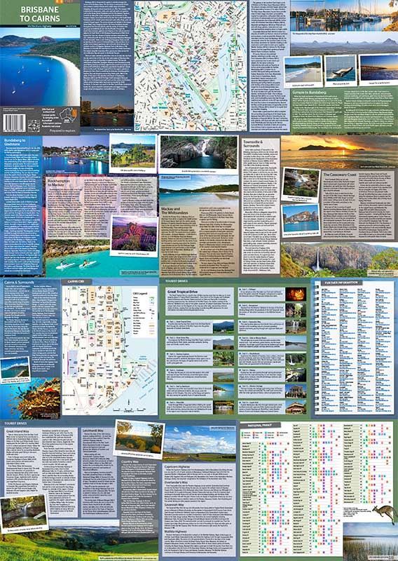
Whether you’re exploring your own backyard or taking a road trip through Queensland, the Brisbane to Cairns map from Hema is great to have on hand, as you can’t always make it up as you go.
It also has heaps of handy information such as 24-hour fuel stops, where you can camp, caravan park locations, camping rest areas and other attractions you might want to check out. The opposite side of this map has CBD maps for Brisbane and Cairns to help you navigate once you arrive at your destination.
It also provides region-specific touring information for the Sunshine Coast, Gympie to Bundaberg, Mackay and the Whitsundays, Townsville, the Cassowary Coast and Cairns. The trusty Hema Brisbane to Cairns map is a must-have if you’re road tripping in the area.
- Distance grid and information centre details also provided
- Maps have 24-hour fuel, camping areas and caravan parks, rest areas and attractions
- Reverse side has CBD maps for Brisbane and Cairns
- Includes Great Tropical Drive, Great Green Way, Daintree Explorer, Cooktown, Reef to Rainforest, Waterfalls,
Cillagoe , Georgetown, Canecutter Way, Tully to Mission Beach, Hinchinbrook,Paluma , Western Heritage, Liquid Gold
Reviews
(0)
Q&A's
You might also like... (1)
Similar gear (2)


- Epic Easter Deals!
-
By Brand
-
Business Sales
- Gift Cards
- Spare Parts
- Blog
Whether you're buying bulk for yourself, or through work, submit a quote request below and we'll work with our suppliers to offer our best price.
- Schools
- Clubs
- Scout groups
- Government departments
- Businesses
- or, just ordering a bulk amount with mates


