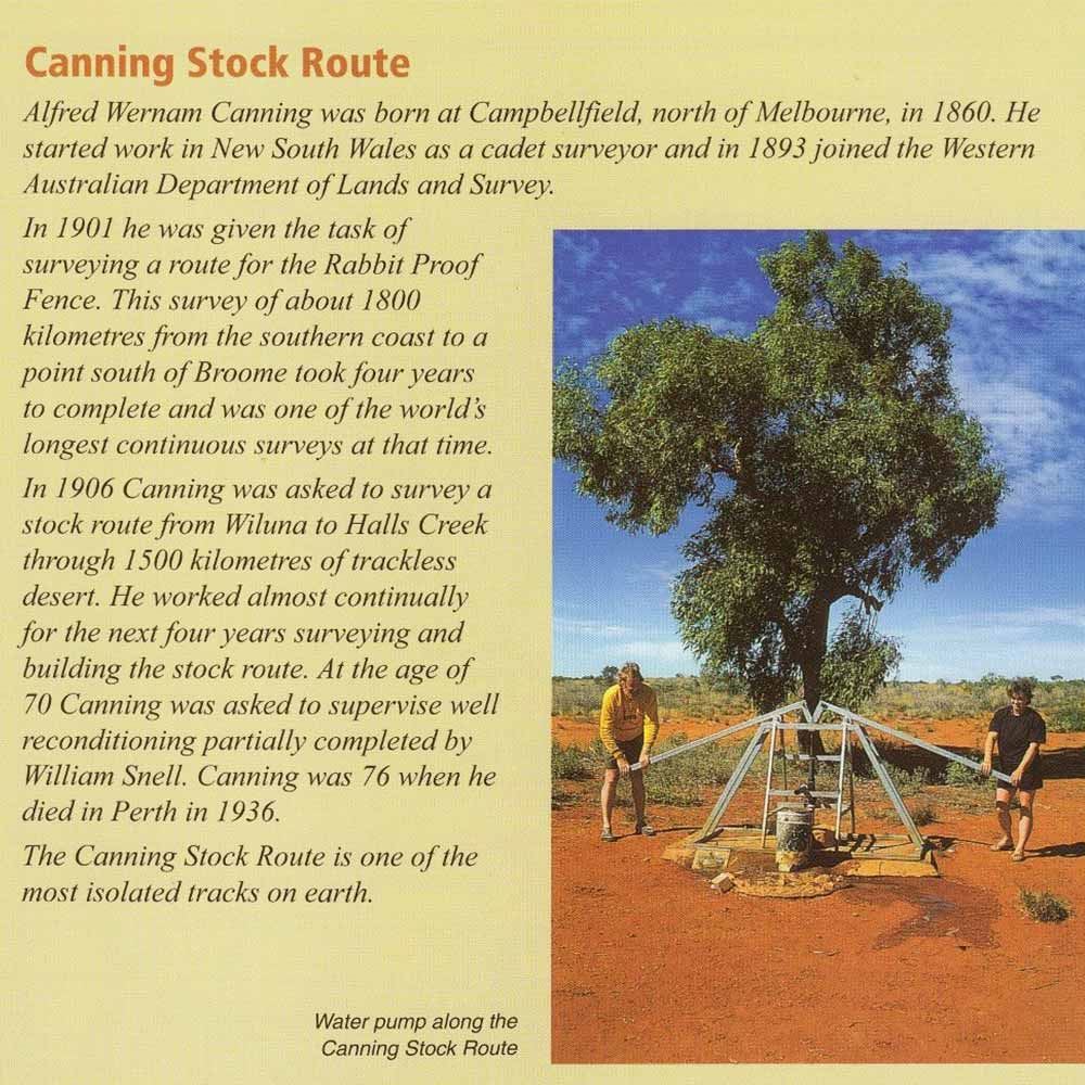
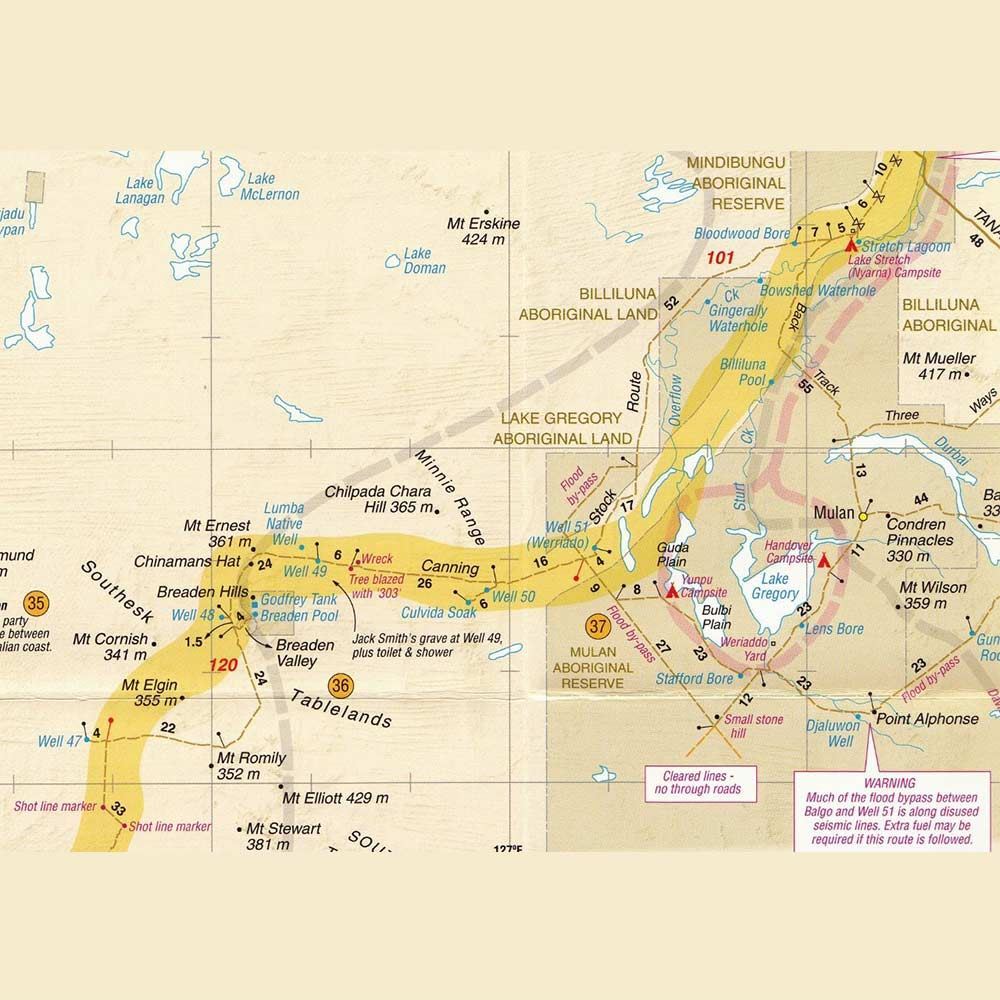
The Canning Stock Route is one of the most isolated tracks on earth with very few services along the way. So it goes without saying that a good map is of the utmost importance for anyone planning to tackle 2000km long trip through remote Western Australia.
As with all Westprint maps, this one is clear and easy to read with information on the rear explaining details on points of interest along the way. The map is field checked with GPS and contains details on roads and tracks, national parks, reserve and heritage information and specific 4WD camping details.
From Halls Creek down to Wiluna, this map is essential for anyone looking to explore this iconic and isolated track in Australia's Outback.